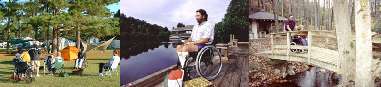


Eastern Shore VA Accessible Trails
Cape Charles
Southern Tip Bike & Hike Trail
Description:Meandering alongside the Old Cape Charles Railroad bed, this asphalt trail is 2.6 miles mile and runs along the approach for the Chesapeake Bay Bridge-Tunnel. Although it’s close to US 13 the southern end of Virginia's Eastern Shore, the trail has a sense of seclusion as goes through forests and farms.
With views of the Chesapeake Bay, the trail connects the Eastern Shore of Virginia National Widlife Refuge with Kiptopeke State Park. There are interpretive signs along the trail's route along with an abundance of wildlife and plants.
Directions:US 13 at Cedar Grove Drive/County Road 645 or Seaside Road. Parking is available at both of these points. Virginia National Widlife Refuge also has parking.
Additional Information: There is access to the Eastern Shore of Virginia National Wildlife Refuge trails at the rear of the Virginia Gateway Welcome Center parking lot. The Eastern Shore Visitor Center also has restrooms.
<<<back to Accessible Trails
Home | Regions | Virginia Weather & Maps | Resources | Outdoor Recreation | About Us | Contact Us | Accessibility Links

